Gallery
2.5 KM, DURATION: 1 HOUR, 30 MINUTES HOURS INCLUDING STOPS.
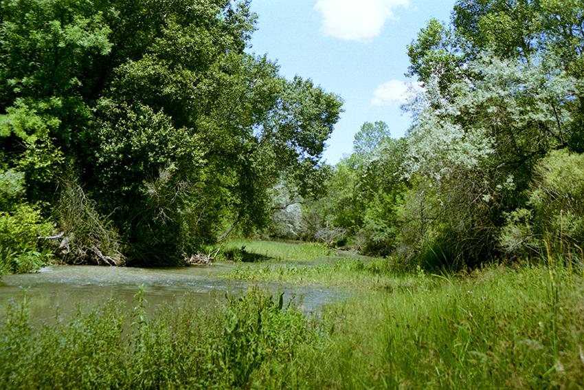
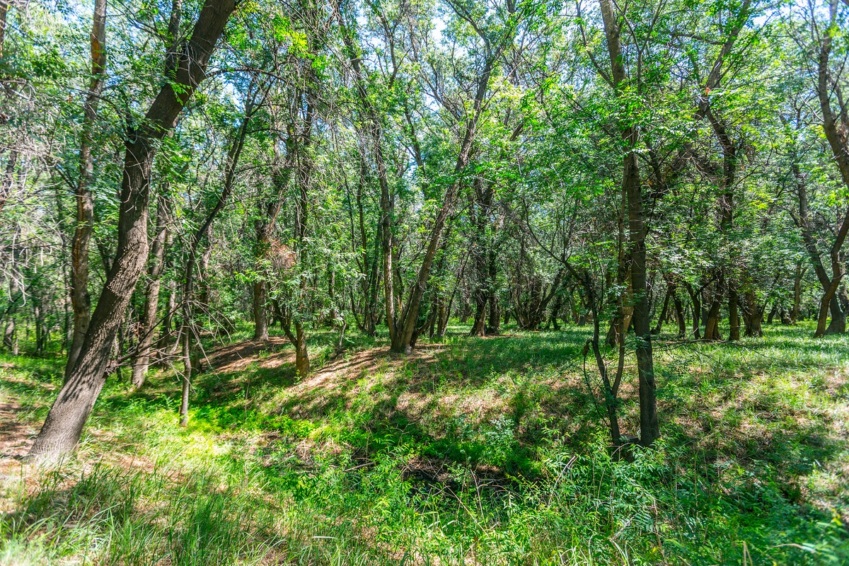
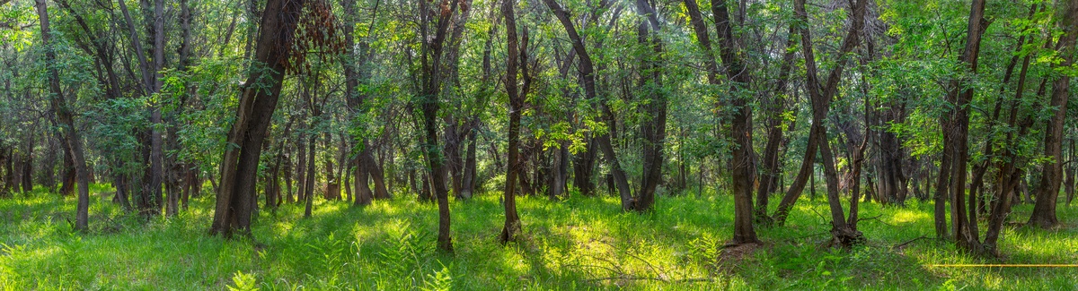
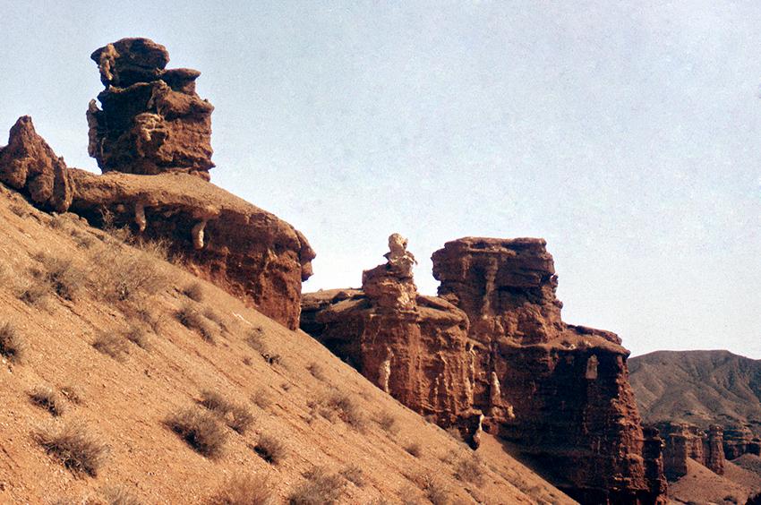
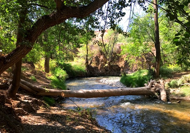
Charyn ash grove
Operating time of the route: all year round. The norm of recreational load is 120 people per day, 3600 people per month, 43200 people per year. No more than 40 people in a group. The area of the grove is 5014 hectares, of which 1100 hectares are pure ash. A relic of the Paleogene era, Sogdian ash, moisture-loving, Charyn ash is protected. It is here that the natural plantings of Sogdian ash have been preserved in their original form.
LENGTH: 3 KM, DURATION 1 HOUR, 40 MINUTES INCLUDING STOPS.
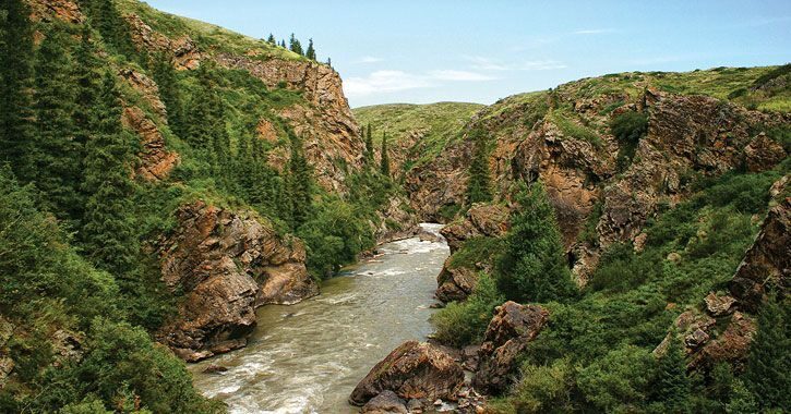
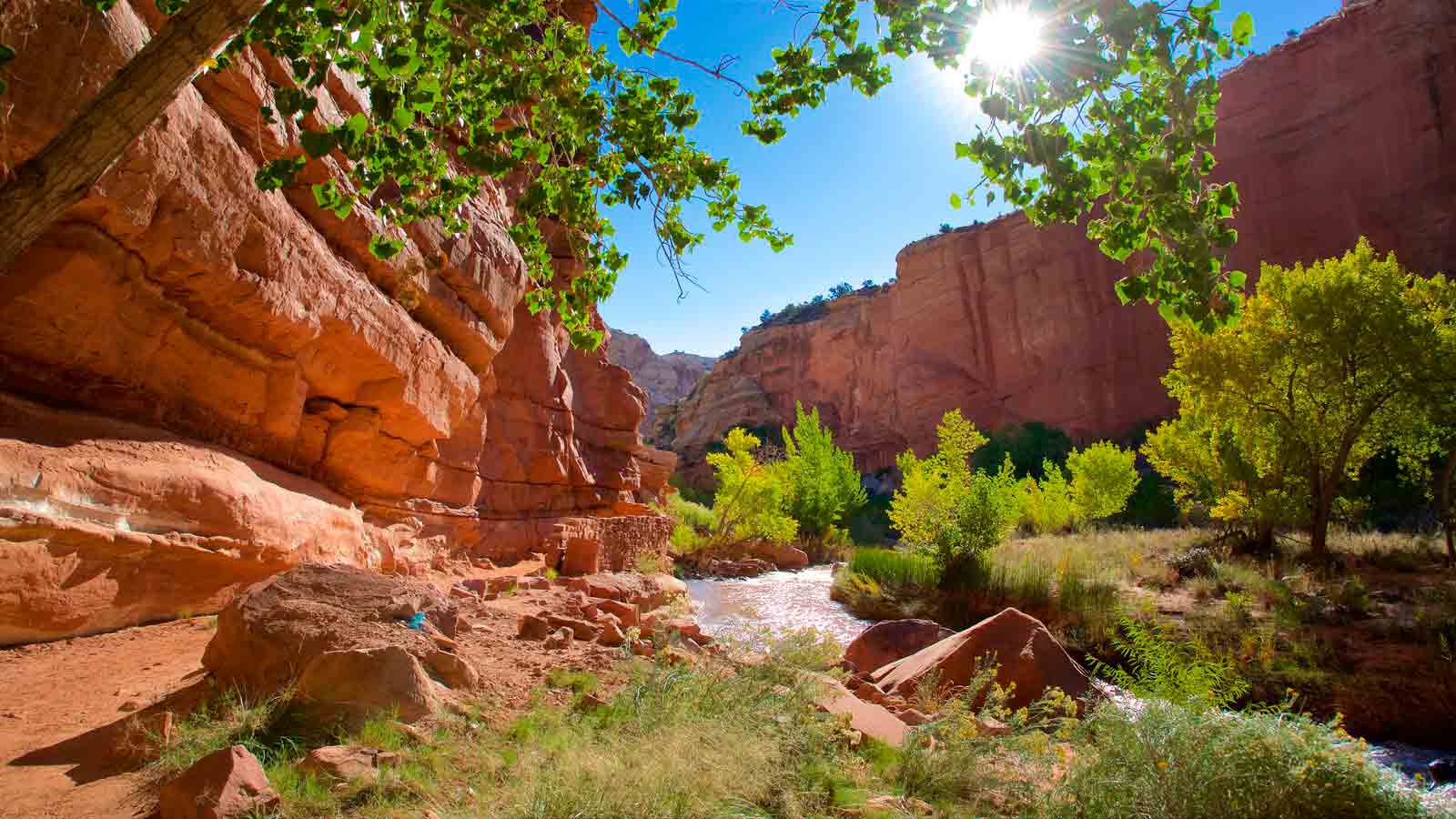
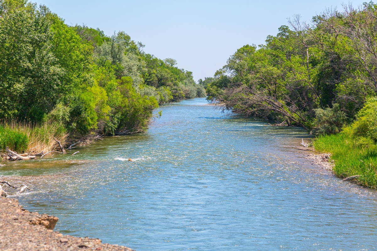
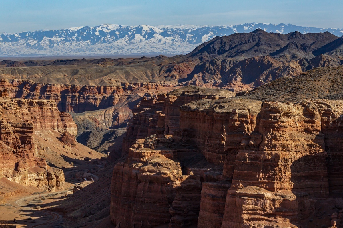
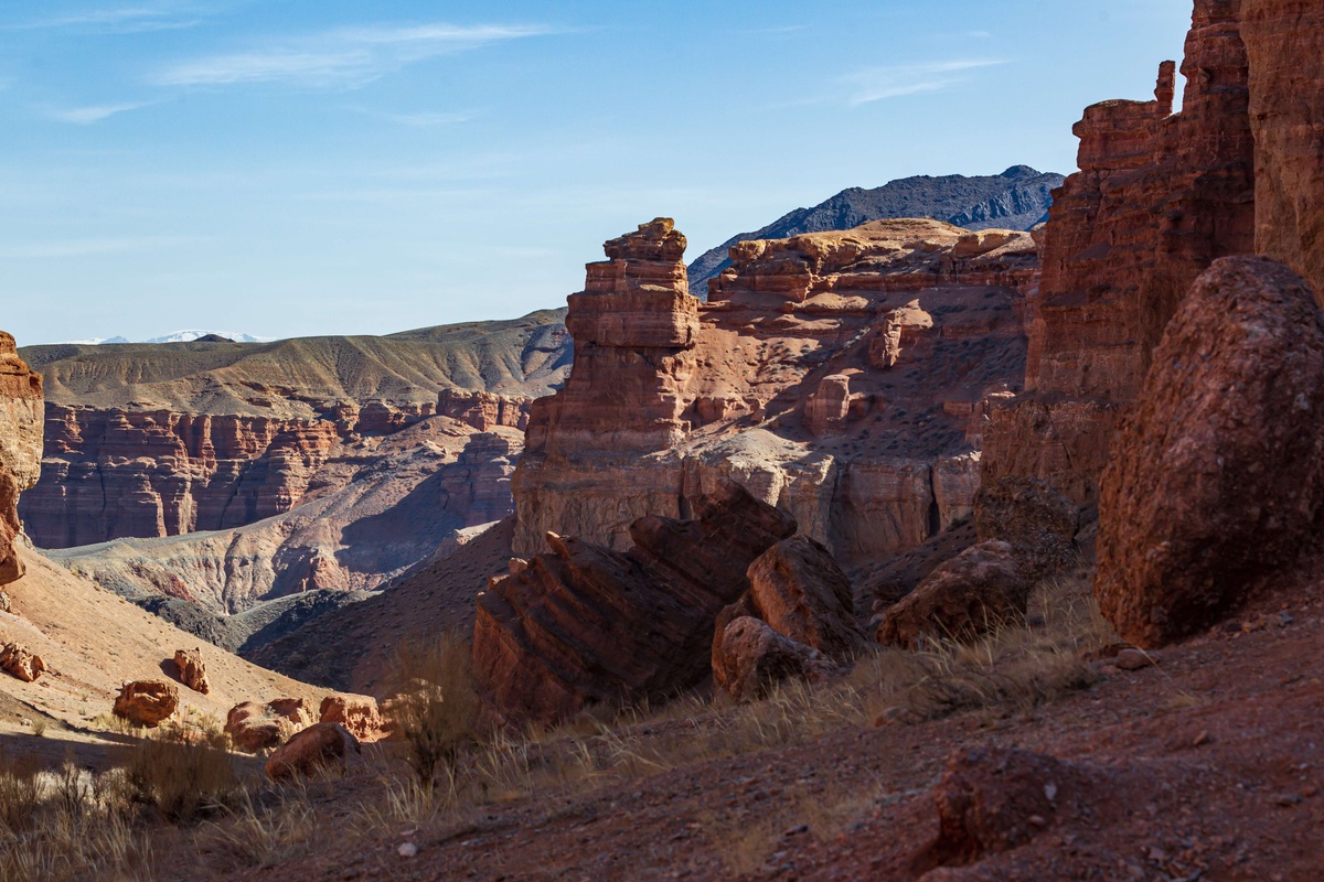
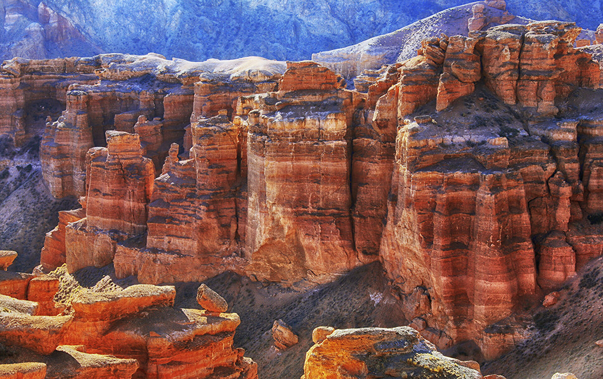
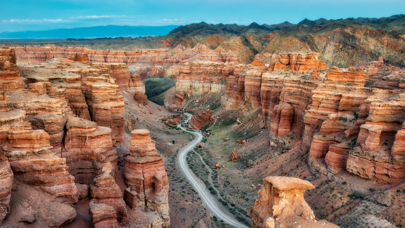
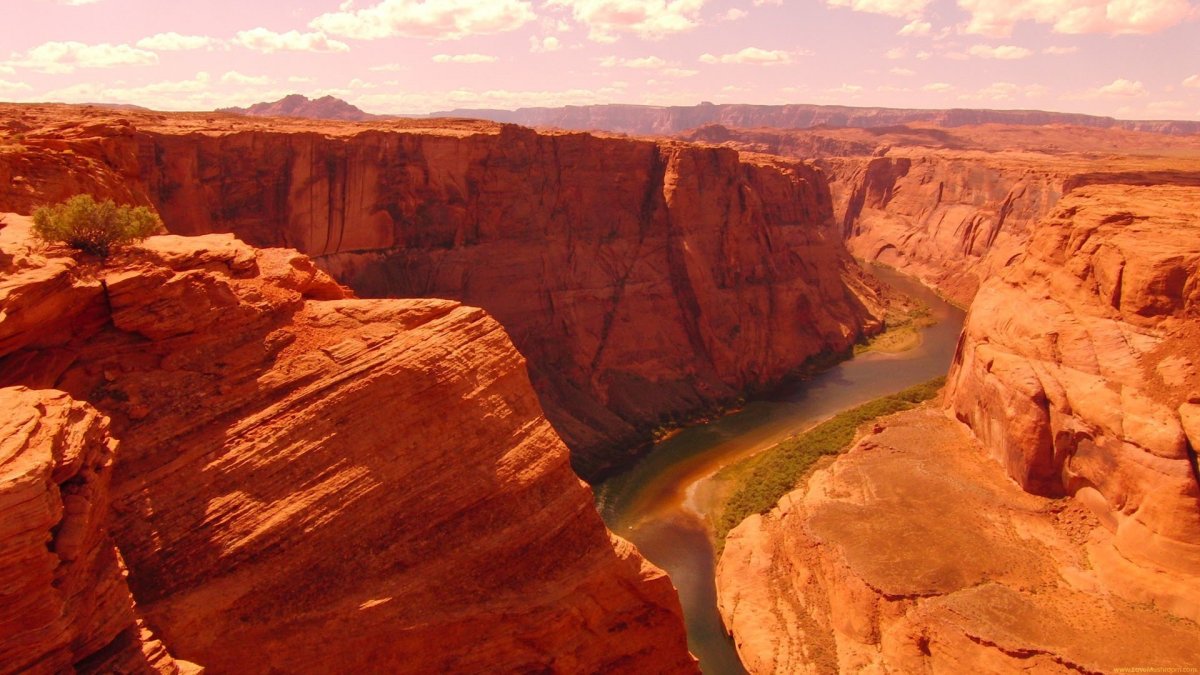
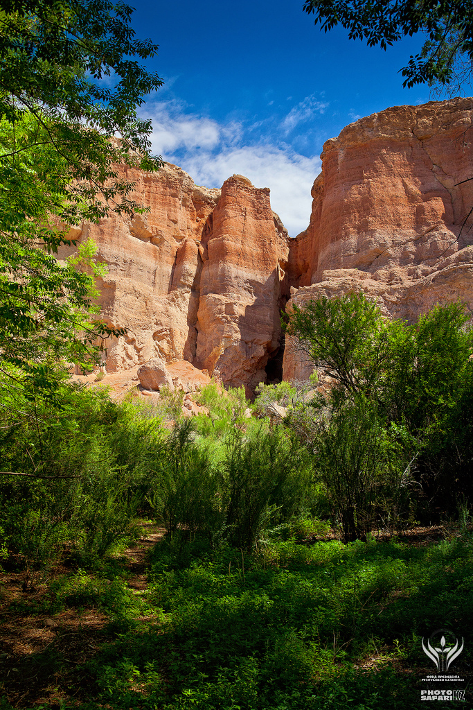
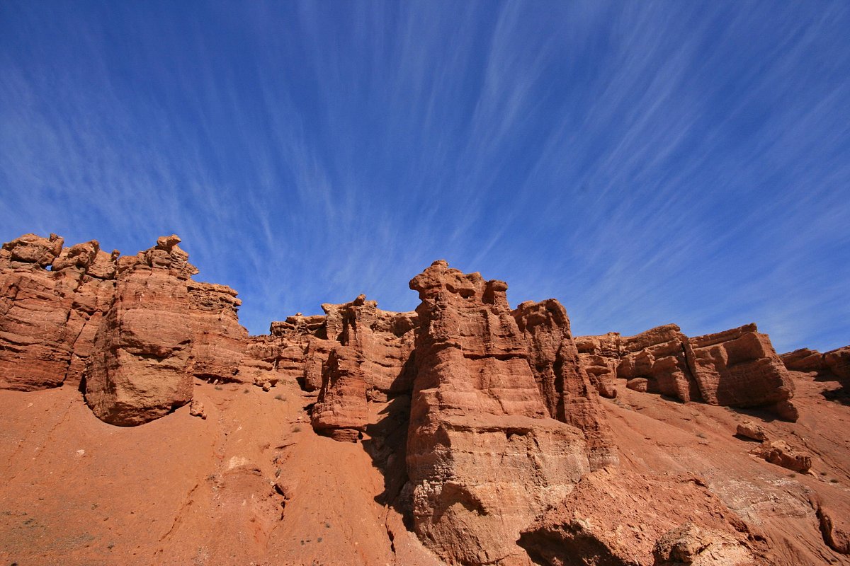
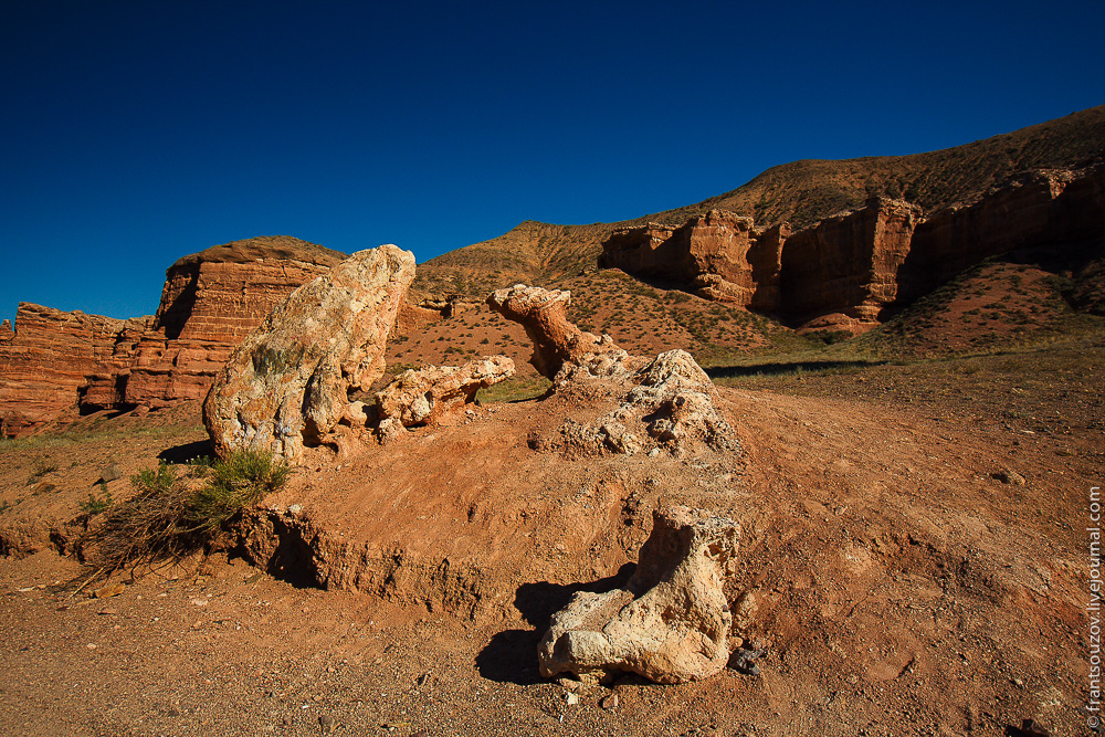
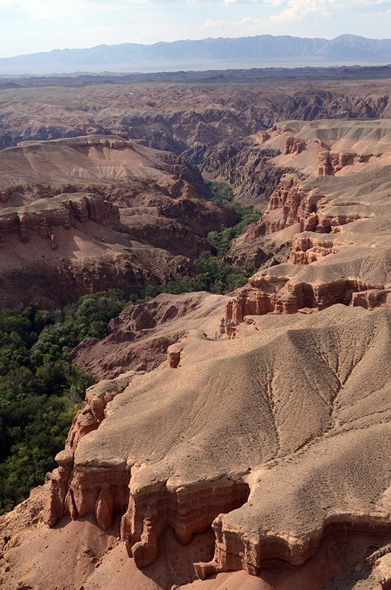
Charyn Canyon “Valley of Castles”
Terms of operation of the route: all year round. The norm of recreational load is 800 people per day, 24,000 people per month, 288,000 people per year. No more than 50 people in a group. “Valley of Castles” – located on a break in the earth’s crust, at an altitude of 1300 meters above sea level. The height of the rocks and towers is 370 meters. The canyon is 3 km long and 200 to 700 meters wide. The route along the flat terrain extends from west to east. The route starts from the descent ladder reaching the bed of the Charyn river
LENGTH: 12KM, DURATION 1 HOUR 15 MINUTES INCLUDING STOPS.
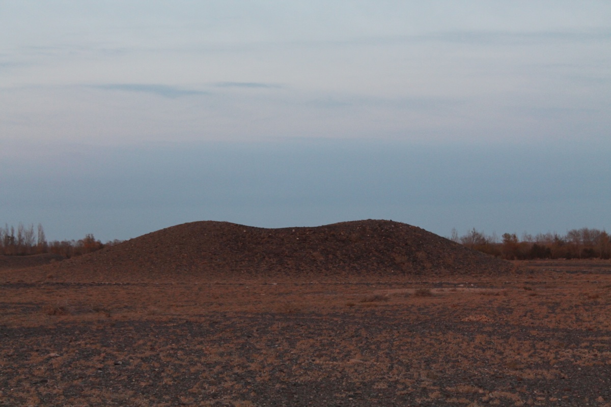
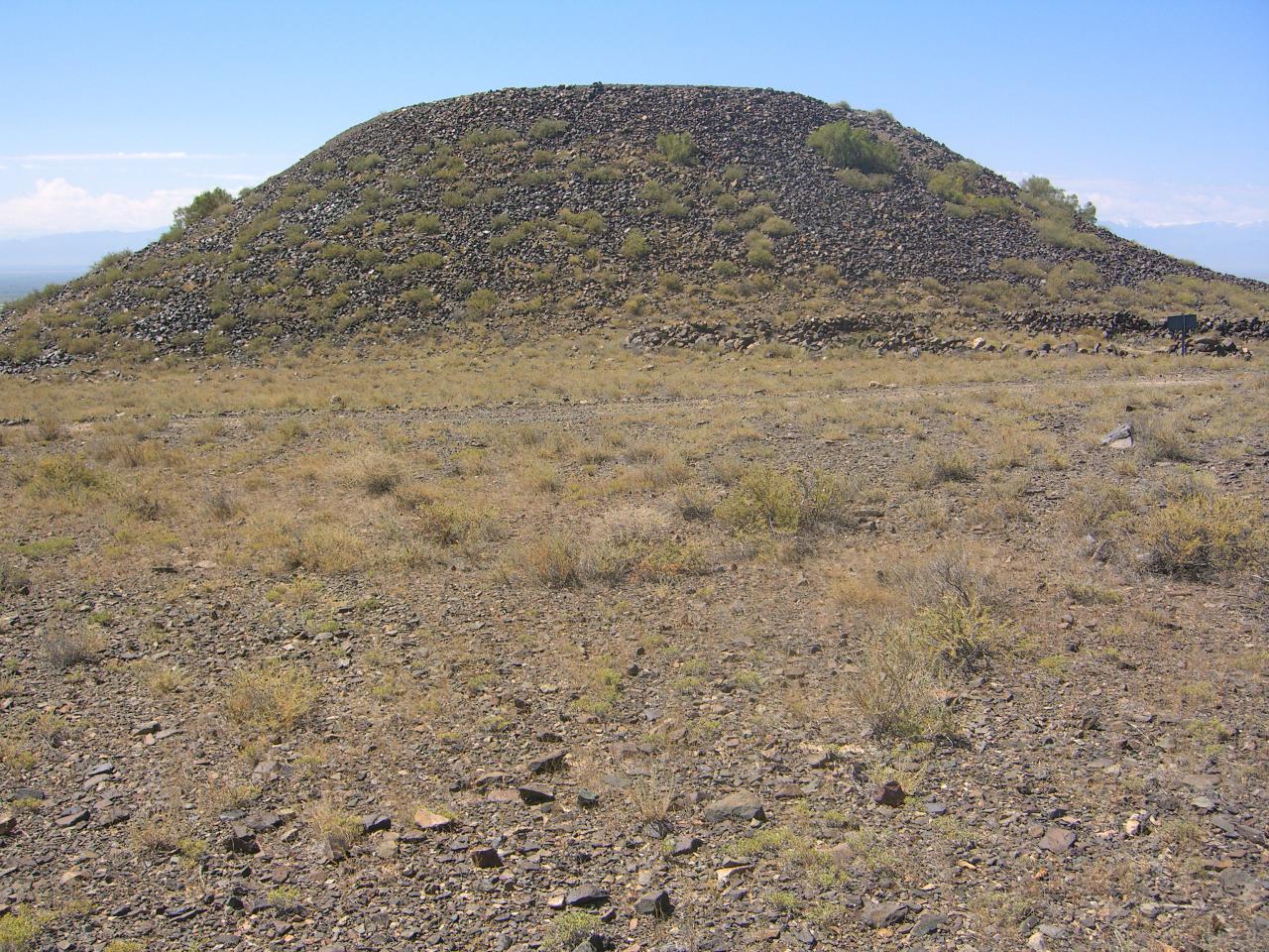
Burial grounds and burial mounds
Terms of operation of the route: all year round. The norm of recreational load is 60 people per day, 1800 people per month, 21600 people per year; No more than 30 people in a group. The most important source on the history of the Saka tribes, their material, spiritual culture are archaeological sites – burial grounds, burial mounds, rock paintings, treasures of Saka things. The burial ground consists of 108 burial mounds and circular stone fences. Mounds of mounds made of earth and stone, diameter 3-16 m, height 0.1-1.2 m, 17 mounds and one fence were excavate
LENGTH: 13 KM, DURATION 4 HOURS INCLUDING STOPS.
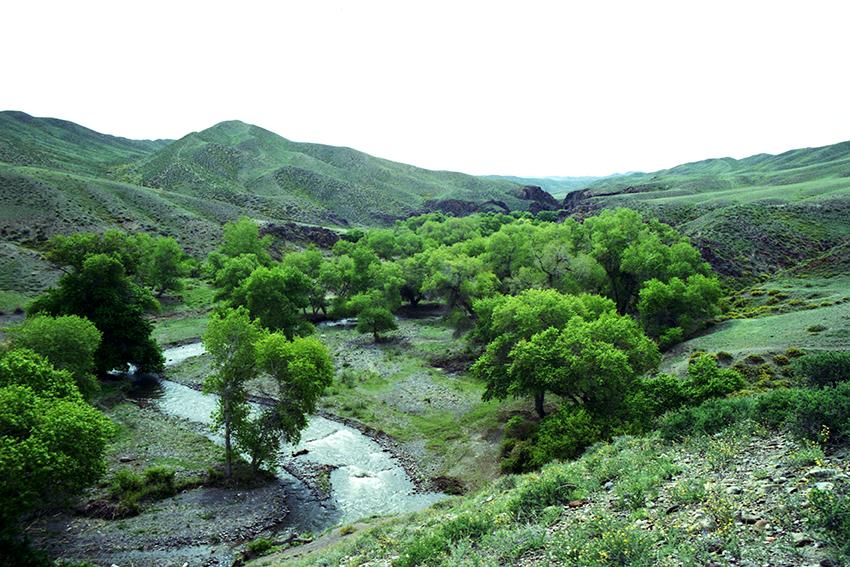
Temirlik Small Canyon
Terms of operation of the route: All year round. The norm of recreational load is 400 people per day, 12,000 people per month, 144,000 people per year. No more than 40 people in a group. Interesting geological sights are located near the mountain mouth of the Temirlik River. There is a very spectacular outcrop of ophiolites, which are the remains of the Cambrian paleoocean, and are represented by serpentinized pyroxenites, gabbro and listvenites. Temirlik is located at an altitude of 939 meters above sea level, and the length is 10 km.